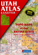
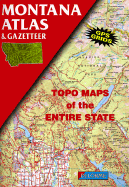
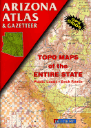
DeLorme's Atlas and Gazetteer Series is America's most popular line of recreational maps! Each atlas covers an individual state in its entirety with detailed, full-color topographic maps. Detail includes back roads, hidden lakes, boat ramps, hiking trails, campgrounds, public lands, forests, wetlands and more. And, the Gazetteer sections feature page after page of information on places to go and things to do. These atlases are year-round favorites with outdoors enthusiasts and anyone who likes to leave the main roads behind.
Read More
DeLorme's Atlas and Gazetteer Series is America's most popular line of recreational maps! Each atlas covers an individual state in its entirety with detailed, full-color topographic maps. Detail includes back roads, hidden lakes, boat ramps, hiking trails, campgrounds, public lands, forests, wetlands and more. And, the Gazetteer sections feature page after page of information on places to go and things to do. These atlases are year-round favorites with outdoors enthusiasts and anyone who likes to leave the main roads behind.
Read Less
Choose your shipping method in Checkout. Costs may vary based on destination.
Seller's Description:
Very good. A well-cared-for item that has seen limited use but remains in great condition. The item is complete, unmarked, and undamaged, but may show some limited signs of wear. Item works perfectly. Pages are intact and not marred by notes or highlighting. The spine is undamaged.
Choose your shipping method in Checkout. Costs may vary based on destination.
Seller's Description:
This item shows signs of wear from consistent use, but it remains in good condition and works perfectly. All pages and cover are intact, but may have aesthetic issues such as small tears, bends, scratches, and scuffs. Spine may also show signs of wear. Pages may include some notes and highlighting. May include "From the library of" labels. Satisfaction Guaranteed.