Learn about and color the basic geographic layout of the USA and each of the 50 US states with USA Maps and the 50 USA States Coloring Book: Including Maps of Canada and North America. USA State Maps are great for coloring, home school, education and even marking up a map for marketing. Each outline map is presented in two ways, one page has the map with corresponding cities, capitals and physical features. the opposite page has the blank outline without any of the information, includes a blank state map set in context in a ...
Read More
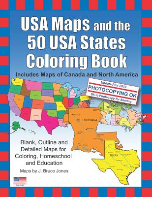
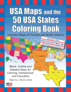
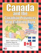
Learn about and color the basic geographic layout of the USA and each of the 50 US states with USA Maps and the 50 USA States Coloring Book: Including Maps of Canada and North America. USA State Maps are great for coloring, home school, education and even marking up a map for marketing. Each outline map is presented in two ways, one page has the map with corresponding cities, capitals and physical features. the opposite page has the blank outline without any of the information, includes a blank state map set in context in a general US map and some basic state facts including State Capital, Population, Size, Statehood, State Motto, State Nickname, State Bird, State Flower, State Tree, and a Fun Fact. Students can trace the outlines of the map, study and highlight cities, capitals and features, and finally review by filling in the pertinent data on the blank map. Each state is located on a USA map and is a great resource for students. USA Maps and the 50 USA States Includes Includes maps of all 50 US States: Alabama, Alaska, Arizona, Arkansas, California, Colorado, Connecticut, Delaware, Florida, Georgia, Hawaii, Idaho and Illinois. Also Includes maps of: Indiana, Iowa, Kansas, Kentucky, Louisiana, Maine, Maryland, Massachusetts, Michigan, Minnesota, Mississippi, Missouri, Montana, Nebraska, Nevada and New Hampshire. And outline state maps of: New Jersey, New Mexico, New York, North Carolina, North Dakota, Ohio, Oklahoma, Oregon, Pennsylvania, Rhode Island, South Carolina, South Dakota, Tennessee, Texas, Utah, Vermont, Virginia, Washington, West Virginia, Wisconsin and Wyoming. USA Maps and the 50 USA States Coloring Book also includes, black outline blank maps: World Robinson Projection, North America with countries, Canada with provinces, United State of America with states, and several World Projections, plus a USA Flag. Also included are maps of US territories: Guam, Saipan, Northern Mariana Islands, Puerto Rico, and the United States Virgin Islands. The printable, blank, outline maps in this coloring book can be freely photocopied by a teacher or parent for use in a classroom or for home school lessons.
Read Less
Choose your shipping method in Checkout. Costs may vary based on destination.
Seller's Description:
Very good. Simply Brit welcome to our online used book store, where affordability meets great quality. Dive into a world of captivating reads without breaking the bank. We take pride in offering a wide selection of used books, from classics to hidden gems, ensuring there's something for every literary palate. All orders are shipped within 24 hours and our lightning fast-delivery within 48 hours coupled with our prompt customer service ensures a smooth journey from ordering to delivery. Discover the joy of reading with us, your trusted source for affordable books that do not compromise on quality.
Choose your shipping method in Checkout. Costs may vary based on destination.
Seller's Description:
Good. The cover has visible markings and wear. The cover has curled corners. The pages show normal wear and tear. Codes or product keys that accompany this product may not be valid. Fast Shipping in a Standard Poly Mailer!