Each year hundreds of boaters (sailors and power cruisers) travel on this sheltered water trail along the Atlantic east coast. Navigating the Intracoastal Waterway from Virginia to Florida, or vice versa, is certainly possible with only a chartplotter, but prudent mariners will invest in this printed backup chartbook to ensure they always know how to find their way along the thousand-mile route. This book is handy, up-to-date, and full of ALL the information needed to pass safely under bridges and anchor safely for the ...
Read More
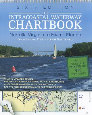
Each year hundreds of boaters (sailors and power cruisers) travel on this sheltered water trail along the Atlantic east coast. Navigating the Intracoastal Waterway from Virginia to Florida, or vice versa, is certainly possible with only a chartplotter, but prudent mariners will invest in this printed backup chartbook to ensure they always know how to find their way along the thousand-mile route. This book is handy, up-to-date, and full of ALL the information needed to pass safely under bridges and anchor safely for the night.
Read Less
Choose your shipping method in Checkout. Costs may vary based on destination.
Seller's Description:
New. Paper over boards. 304 p. Contains: Halftones, color, Maps. Intracoastal Waterway Chartbook: Norfolk, Virginia to Miami, Florida. In Stock. 100% Money Back Guarantee. Brand New, Perfect Condition, allow 4-14 business days for standard shipping. To Alaska, Hawaii, U.S. protectorate, P.O. box, and APO/FPO addresses allow 4-28 business days for Standard shipping. No expedited shipping. All orders placed with expedited shipping will be cancelled. Over 3, 000, 000 happy customers.
Choose your shipping method in Checkout. Costs may vary based on destination.
Seller's Description:
New. Presents a complete set of navigation that charts for the 1, 090-mile Intracoastal Waterway from Norfolk to Miami, as well as charts for all major Atlantic inlets. This book includes a complete listing of waterway bridge and lock characteristics; anchorage listings; mileage charts; and charts for a picturesque alternate route. Num Pages: 304 pages, Illustrations, map. BIC Classification: 1KBBF; TRLN; WSSN. Category: (G) General (US: Trade). Dimension: 233 x 302 x 15. Weight in Grams: 844. 2012. 6th Edition.....We ship daily from our Bookshop.
Choose your shipping method in Checkout. Costs may vary based on destination.
Seller's Description:
Fine. Paper over boards. 304 p. Contains: Halftones, color, Maps. Intracoastal Waterway Chartbook: Norfolk, Virginia to Miami, Florida. In Stock. 100% Money Back Guarantee. Brand New, Perfect Condition, allow 4-14 business days for standard shipping. To Alaska, Hawaii, U.S. protectorate, P.O. box, and APO/FPO addresses allow 4-28 business days for Standard shipping. No expedited shipping. All orders placed with expedited shipping will be cancelled. Over 3, 000, 000 happy customers.