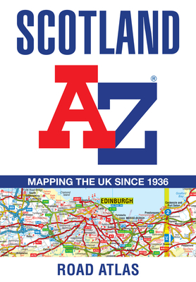
This A-Z map of Scotland is a full colour regional road atlas featuring 92 pages of road mapping covering the whole of the country. Instantly recognizable and easy to use, A-Z road mapping includes the following features: *Motorways with full junction detail, primary routes and destinations, A & B roads, under construction and proposed roads, service areas, tolls, mileages, national, county and unitary authority boundaries *Selected safety camera locations with speed limits *Selected fuel stations *Cairngorms and Loch ...
Read More
This A-Z map of Scotland is a full colour regional road atlas featuring 92 pages of road mapping covering the whole of the country. Instantly recognizable and easy to use, A-Z road mapping includes the following features: *Motorways with full junction detail, primary routes and destinations, A & B roads, under construction and proposed roads, service areas, tolls, mileages, national, county and unitary authority boundaries *Selected safety camera locations with speed limits *Selected fuel stations *Cairngorms and Loch Lomond & The Trossachs National Park boundaries *Hill shading sourced from Geo-Innovations??? ... *Selected places of interest and tourist information centres The mainland pages scale is 3.5 miles to 1 inch and the Western Isles, Shetland Islands and Orkney Islands scale is 4.5 miles to 1 inch. Also included are 20 city and town plans for: *Aberdeen *Aviemore *Ayr *Dumfries *Dundee *Dunfermline *Edinburgh *Glasgow *Falkirk *Fort William *Hamilton *Inverness *Kilmarnock *Kirkcaldy *Motherwell *Oban *Paisley *Perth *St Andrews *Stirling There is a comprehensive index to cities, towns, villages, hamlets and locations.
Read Less