Federal Emergency Management Agency (FEMA) Flood Insurance Rate Maps portray the height and extent to which flooding is expected to occur, and they form the basis for setting flood insurance premiums and regulating development in the floodplain. As such, they are an important tool for individuals, businesses, communities, and government agencies to understand and deal with flood hazard and flood risk. Improving map accuracy is therefore not an academic question--better maps help everyone. Making and maintaining an ...
Read More
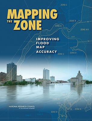
Federal Emergency Management Agency (FEMA) Flood Insurance Rate Maps portray the height and extent to which flooding is expected to occur, and they form the basis for setting flood insurance premiums and regulating development in the floodplain. As such, they are an important tool for individuals, businesses, communities, and government agencies to understand and deal with flood hazard and flood risk. Improving map accuracy is therefore not an academic question--better maps help everyone. Making and maintaining an accurate flood map is neither simple nor inexpensive. Even after an investment of more than $1 billion to take flood maps into the digital world, only 21 percent of the population has maps that meet or exceed national flood hazard data quality thresholds. Even when floodplains are mapped with high accuracy, land development and natural changes to the landscape or hydrologic systems create the need for continuous map maintenance and updates. Mapping the Zone examines the factors that affect flood map accuracy, assesses the benefits and costs of more accurate flood maps, and recommends ways to improve flood mapping, communication, and management of flood-related data.
Read Less