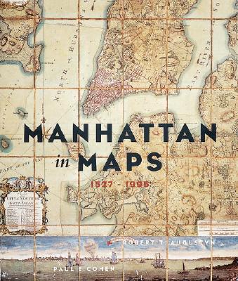
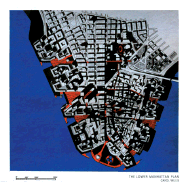
The first book to tell the urban and social history of the world's first modern city through maps--from crude woodblock engravings depicting Verrazano's first glimpse of New York Harbor in the 16th century to the latest satellite photographs of the island of Manhattan. These rare and mostly never-before-published maps span four centuries. 64 color illustrations.
Read More
The first book to tell the urban and social history of the world's first modern city through maps--from crude woodblock engravings depicting Verrazano's first glimpse of New York Harbor in the 16th century to the latest satellite photographs of the island of Manhattan. These rare and mostly never-before-published maps span four centuries. 64 color illustrations.
Read Less