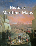
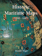
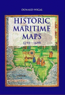
The selection of maps in this book dates from the 12th to the 18th centuries.While the maps may appear quite primitive, they reveal the steady progress ofthe earliest seafarers in their determination to conquer the sea.
Read More
The selection of maps in this book dates from the 12th to the 18th centuries.While the maps may appear quite primitive, they reveal the steady progress ofthe earliest seafarers in their determination to conquer the sea.
Read Less
Choose your shipping method in Checkout. Costs may vary based on destination.
Seller's Description:
Very good. Connecting readers with great books since 1972! Used books may not include companion materials, and may have some shelf wear or limited writing. We ship orders daily and Customer Service is our top priority!
Choose your shipping method in Checkout. Costs may vary based on destination.
Seller's Description:
Very Good+ in Very Good+ dust jacket. 1844843890. DJ and boards show very light shelf wear.; A bright, solid book. Dust jacket in Mylar jacket protector. Full colour illustrations throughout; Magnus Collection; Colour Illustrations; 12.6 X 9.6 X 1.7 inches; 256 pages; "The selection of maps in this book dates from the 12th to the 18th century. While they may appear quite primitive to our eyes, they reveal the steady progress of the earliest seafarers in their determination to conquer the sea. What they lack in geographical accuracy, they make up for in charm."
Choose your shipping method in Checkout. Costs may vary based on destination.
Seller's Description:
Fine in Near Fine jacket. Book 255 pages, numerous color maps and illustrations. list of illustrations, notes, index, glossary, further reference; folio, pictorial boards. Fine in a near fine dust jacket.