The 24 maps and views included in each book date from as far back as the early seventeenth century and up until the preset day. The selection include some of the earliest known maps of each city or area, as well as topographical maps, views of iconic locations throughout the city transit maps and more. The original printing information is printed on the reverse side of each map and is accompanied by brief text that describes the image in an historic context and further illuminates its qualities. An introduction to each book ...
Read More
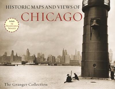
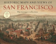
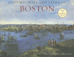
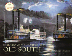
The 24 maps and views included in each book date from as far back as the early seventeenth century and up until the preset day. The selection include some of the earliest known maps of each city or area, as well as topographical maps, views of iconic locations throughout the city transit maps and more. The original printing information is printed on the reverse side of each map and is accompanied by brief text that describes the image in an historic context and further illuminates its qualities. An introduction to each book by a Granger Collection curator is also included.
Read Less