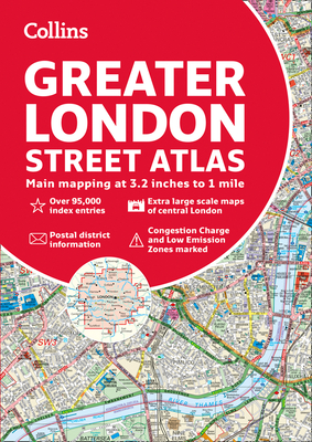
A definitive guide to the streets of London. The ultimate Collins street atlas of London, featuring incredibly detailed street level maps, with more than 40 categories of information, covering 1660 square miles in and around London and with more than 95,000 street names. Includes airport plans, London Underground Map, congestion charges and low emission zone information. Full index to street names and places of interest, including hospitals, schools, colleges and stations. Scales used ...
Read More
A definitive guide to the streets of London. The ultimate Collins street atlas of London, featuring incredibly detailed street level maps, with more than 40 categories of information, covering 1660 square miles in and around London and with more than 95,000 street names. Includes airport plans, London Underground Map, congestion charges and low emission zone information. Full index to street names and places of interest, including hospitals, schools, colleges and stations. Scales used * 1:10,000 Central area, 1:20,000 Main area, 1:63,360 Urban maps 1:20,000 scale (3.2 inches to 1 mile) is from Welwyn Garden City in the north to Gatwick Airport in the south, and from Windsor in the west to Gravesend in the east 1:10,000 (6.3 inches to 1 mile) scale extends from Highbury in the north to Clapham in the south and from Shepherd's Bush in the west to Beckton in the east
Read Less
Choose your shipping method in Checkout. Costs may vary based on destination.
Seller's Description:
Acceptable. Used-Acceptable. Ships from UK in 48 hours or less (usually same day). Your purchase helps support Sri Lankan Children's Charity 'The Rainbow Centre'. Ex-library with wear and barcode page may have been removed. 100% money back guarantee. We are a world class secondhand bookstore based in Hertfordshire, United Kingdom and specialize in high quality textbooks across an enormous variety of subjects. We aim to provide a vast range of textbooks, rare and collectible books at a great price. Our donations to The Rainbow Centre have helped provide an education and a safe haven to hundreds of children who live in appalling conditions. We provide a 100% money back guarantee and are dedicated to providing our customers with the highest standards of service in the bookselling industry.
Choose your shipping method in Checkout. Costs may vary based on destination.
Seller's Description:
Very good. Simply Brit welcome to our online used book store, where affordability meets great quality. Dive into a world of captivating reads without breaking the bank. We take pride in offering a wide selection of used books, from classics to hidden gems, ensuring there's something for every literary palate. All orders are shipped within 24 hours and our lightning fast-delivery within 48 hours coupled with our prompt customer service ensures a smooth journey from ordering to delivery. Discover the joy of reading with us, your trusted source for affordable books that do not compromise on quality.
Choose your shipping method in Checkout. Costs may vary based on destination.
Seller's Description:
Very good. **SHIPPED FROM UK** We believe you will be completely satisfied with our quick and reliable service. All orders are dispatched as swiftly as possible! Buy with confidence! Greener Books.