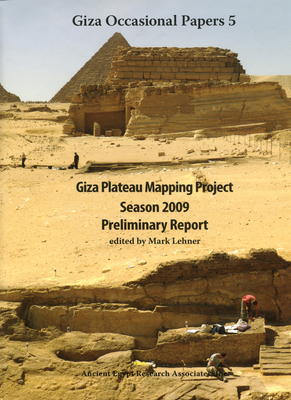
During 2009, the Giza Plateau Mapping Project carried out excavations at two sites as part of its ongoing research program: 1) the settlement connected to the Khentkawes Monument on the Giza Plateau and 2) the nearby town, Heit el-Ghurab (aka Lost City of the Pyramids).
Read More
During 2009, the Giza Plateau Mapping Project carried out excavations at two sites as part of its ongoing research program: 1) the settlement connected to the Khentkawes Monument on the Giza Plateau and 2) the nearby town, Heit el-Ghurab (aka Lost City of the Pyramids).
Read Less
Choose your shipping method in Checkout. Costs may vary based on destination.
Seller's Description:
New. During 2009, the Giza Plateau Mapping Project carried out excavations at two sites as part of its ongoing research program: 1) the settlement connected to the Khentkawes Monument on the Giza Plateau and 2) the nearby town, Heit el-Ghurab (aka Lost City of the Pyramids). Editor(s): Lehner, Mark. Num Pages: 244 pages, 102 b/w illus, 29 col plates, 65 line drawings, 6 foldout maps. BIC Classification: HDDG. Category: (P) Professional & Vocational; (U) Tertiary Education (US: College). Dimension: 284 x 218 x 25. Weight in Grams: 1429. 2011. Hardback.....We ship daily from our Bookshop.