Mathematical modeling of the Cheboksary reservoir using one-dimensional numerical model combined with GIS-technology was used to solve the following practical problems: prediction of water levels during the breakthrough wave passage and at the same time the boundaries of flood zones of settlements; analysis of the situation in the water body at the design and operation of hydraulic structures; development of measures to eliminate emergencies; conservation of water resources from exhaustion and environmental protection.In ...
Read More
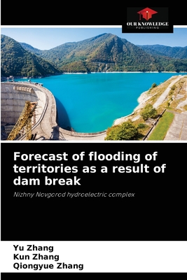
Mathematical modeling of the Cheboksary reservoir using one-dimensional numerical model combined with GIS-technology was used to solve the following practical problems: prediction of water levels during the breakthrough wave passage and at the same time the boundaries of flood zones of settlements; analysis of the situation in the water body at the design and operation of hydraulic structures; development of measures to eliminate emergencies; conservation of water resources from exhaustion and environmental protection.In the calibration, measurements at the hydrological stations for 2001-2012 were used. Using the constructed and calibrated model the analysis of inundation zones as a result of dam break at different NPP at Cheboksary hydroscheme was carried out. Practical value of the work: the obtained research of joint use of GIS technologies and computational hydrodynamic programs allows improving methods of simulation modeling of regulated means.
Read Less
Choose your shipping method in Checkout. Costs may vary based on destination.
Seller's Description:
PLEASE NOTE, WE DO NOT SHIP TO DENMARK. New Book. Shipped from UK in 4 to 14 days. Established seller since 2000. Please note we cannot offer an expedited shipping service from the UK.