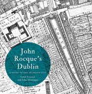
This pocket map presents the topographical features of early modern Dublin during the period 1610 to 1756. It contains a booklet and foldout map of Dublin and is an ancillary publication of IHTA, no. 19, Dublin, part II, 1610 to 1756.
Read More
This pocket map presents the topographical features of early modern Dublin during the period 1610 to 1756. It contains a booklet and foldout map of Dublin and is an ancillary publication of IHTA, no. 19, Dublin, part II, 1610 to 1756.
Read Less
Choose your shipping method in Checkout. Costs may vary based on destination.
Seller's Description:
New. 2009. Illustrated. Paperback. DUBLIN 16 page booklet and one fold out map. Irish Historic Towns AtlasSeries. First edition copy.....We ship daily from our warehouse.