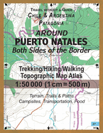
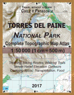
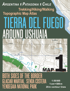
Around Puerto Natales Both Sides of the Border Trekking/Hiking/Walking Topographic Map Atlas 1: 50000 (1cm=500m) Chile & Argentina Patagonia 2017 Terrain, Trails & Paths, Campsites, Transportation, Food: Updated for 2017 All the Necessary Information
Around Puerto Natales Both Sides of the Border Trekking/Hiking/Walking Topographic Map Atlas 1: 50000 (1cm=500m) Chile & Argentina Patagonia 2017 Terrain, Trails & Paths, Campsites, Transportation, Food: Updated for 2017 All the Necessary Information...
This detailed, full color topographic atlas represents the area around Puerto Natales, a port town close to the famous Torres del Paine National Park in Chilean Patagonia. R???o Turbio and Veintiocho de Noviembre, villages on the Argentinian side of the border are also shown, with their access roads.Also shown is the peninsula Antonio Varas and the Fjord of Last Hope/Seno ???ltima Esperanza, from Puerto Bories to Puerto Toro with the coastal line and terrain beyond, useful for reference on marine excursions to Glaciar ...
Read More
This detailed, full color topographic atlas represents the area around Puerto Natales, a port town close to the famous Torres del Paine National Park in Chilean Patagonia. R???o Turbio and Veintiocho de Noviembre, villages on the Argentinian side of the border are also shown, with their access roads.Also shown is the peninsula Antonio Varas and the Fjord of Last Hope/Seno ???ltima Esperanza, from Puerto Bories to Puerto Toro with the coastal line and terrain beyond, useful for reference on marine excursions to Glaciar Balmaceda and Glaciar & Laguna Serrano (also shown) in the Bernardo O'Higgins National Park.The details included in the topographic maps of this Atlas were specifically selected to be useful for trekkers, hikers and walkers of all interests, and make it easy to plan and enjoy both short excursions and hikes as well as long multi-day adventures. Terrain relief elevation contours are drawn every 20 meters.The map scale of 1:50000 (1 cm = 500 meters) provides a wealth of detail while keeping low the weight of the atlas itself. The large page format of 8.5x11in minimizes page count and along with the overlapping map design allows for comfortable navigation. With this ultralight map atlas you will always have a detailed, reliable, information-rich, battery-independent, shatter-proof map for your adventure. Mercator projection SAD69 with both UTM and WGS84 coordinate grids.
Read Less
Choose your shipping method in Checkout. Costs may vary based on destination.
Seller's Description:
New. Trade paperback (US). Glued binding. 44 p. Torres del Paine Area Tourist Maps. In Stock. 100% Money Back Guarantee. Brand New, Perfect Condition, allow 4-14 business days for standard shipping. To Alaska, Hawaii, U.S. protectorate, P.O. box, and APO/FPO addresses allow 4-28 business days for Standard shipping. No expedited shipping. All orders placed with expedited shipping will be cancelled. Over 3, 000, 000 happy customers.
Choose your shipping method in Checkout. Costs may vary based on destination.
Seller's Description:
PLEASE NOTE, WE DO NOT SHIP TO DENMARK. New Book. Shipped from UK in 4 to 14 days. Established seller since 2000. Please note we cannot offer an expedited shipping service from the UK.