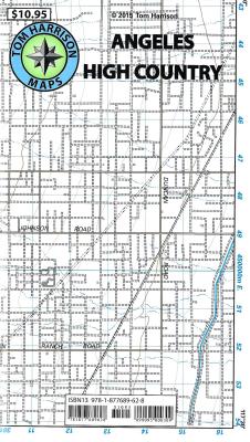
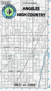
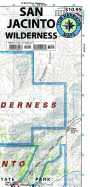
2006, Shaded relief map, folded, printed on waterproof and tear resistant material. Scale 1:63360 (1 inch represents 1 mile) and contour interval 80 feet. The area is high up in the Angeles National Forest, North of Monrovia, San Dimas and east of San Bernardino National Forest.
Read More
2006, Shaded relief map, folded, printed on waterproof and tear resistant material. Scale 1:63360 (1 inch represents 1 mile) and contour interval 80 feet. The area is high up in the Angeles National Forest, North of Monrovia, San Dimas and east of San Bernardino National Forest.
Read Less
Choose your shipping method in Checkout. Costs may vary based on destination.
Seller's Description:
PLEASE NOTE, WE DO NOT SHIP TO DENMARK. New Book. Shipped from UK in 4 to 14 days. Established seller since 2000. Please note we cannot offer an expedited shipping service from the UK.
Choose your shipping method in Checkout. Costs may vary based on destination.
Seller's Description:
PLEASE NOTE, WE DO NOT SHIP TO DENMARK. New Book. Shipped from UK in 4 to 14 days. Established seller since 2000. Please note we cannot offer an expedited shipping service from the UK.
Choose your shipping method in Checkout. Costs may vary based on destination.
Seller's Description:
New. Brand New! Not Overstocks or Low Quality Book Club Editions! Direct From the Publisher! We're a small town bookstore that loves books and loves it's customers! Buy from US!