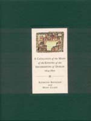
The collection consists of 64 maps relating mostly to lands in country Dublin, but also in the city of Dublin and the counties of Wicklow, Westmeath, and Cork. Many of them are the work of the leading surveyors of the day, and all are in manuscript form though in some cases they include engraved car
Read More
The collection consists of 64 maps relating mostly to lands in country Dublin, but also in the city of Dublin and the counties of Wicklow, Westmeath, and Cork. Many of them are the work of the leading surveyors of the day, and all are in manuscript form though in some cases they include engraved car
Read Less
Add this copy of A Catalogue of the Maps of the Estates of the to cart. $36.35, like new condition, Sold by Daedalus Books rated 4.0 out of 5 stars, ships from Portland, OR, UNITED STATES, published 2001 by Four Courts Press.
Choose your shipping method in Checkout. Costs may vary based on destination.
Seller's Description:
Illustrated by Illustrated. Fine with no dust jacket. 1851825959. Without Dustjacket as Issued; Green cloth with paper illustrated in-lay. 1 out of 500. Historical introduction by Raymond Gillespie.; 4to.
Add this copy of A Catalogue of the Maps of the Estates of the Arch to cart. $71.78, good condition, Sold by Bonita rated 4.0 out of 5 stars, ships from Newport Coast, CA, UNITED STATES, published 2001 by Four Courts Pr Ltd.